Rain, Thunderstorms to Drench Treasure Coast Through Monday
Showers hit Saturday with a 60% chance, building into a wet pattern that threatens boat outings and beach days in Martin, St. Lucie and Indian River counties.

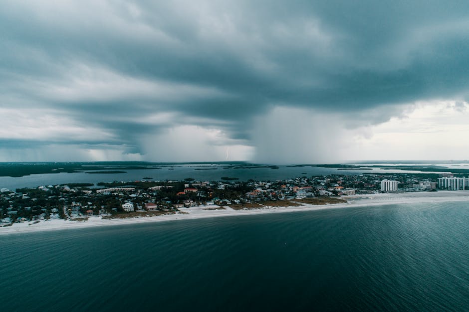
TODAY: A messy Saturday is in store for the Treasure Coast, with showers likely and a chance of thunderstorms developing by late morning and carrying through the afternoon. Highs in the lower 80s. Rain chance: 60%.
TONIGHT: Partly cloudy with a chance of showers lingering overnight. A slight chance of thunderstorms returns in the late evening and early morning hours. Low in the upper 60s. Southeast winds around 5 mph. Rain chance: 50%.
THIS WEEK: The wet pattern holds through the start of the workweek. Sunday brings showers likely and a chance of thunderstorms under mostly cloudy skies, with highs again in the lower 80s and a 70% rain chance — the highest of the three-day window. Winds pick up Sunday with southeast gusts to 25 mph. Monday stays unsettled: showers arrive late morning, becoming likely by late afternoon, with a 70% chance of rain and breezy south winds gusting to 30 mph and highs pushing into the mid-80s.
ON THE WATER: Conditions deteriorate through the weekend. Saturday's east winds of five to 10 mph are manageable early, but thunderstorm risk makes any offshore run inadvisable by late morning. Sunday's southeast winds at 10 to 15 mph gusting to 25 mph will build chop; inshore options only. Monday's south winds at 15 to 20 mph gusting to 30 mph make for rough going — the snowbird asking about a Saturday boat trip should wait for a better weather window later in the week. If you go out Saturday, go early and be back at the dock before 10 a.m.
ALERTS: No active National Weather Service watches, warnings, or advisories are in effect for the Treasure Coast, according to available information. Conditions should be monitored closely given the multi-day thunderstorm potential.
This article was generated with AI assistance using publicly available information. It was reviewed and approved by a human editor before publication. TC Sentinel uses AI writing tools in accordance with FTC guidelines.
Stay informed. Subscribe free.
Get the Treasure Coast's daily briefing in your inbox every morning.
Got a Tip?
See something newsworthy? Help us cover the Treasure Coast.
Your identity is never published without your permission.
Reader Comments
Leave a Comment