Treasure Coast Faces Breezy 80s with 20% Shower Chance This Weekend
Partly sunny skies and east winds of 10 to 15 mph will dominate Martin, St. Lucie and Indian River counties, offering mild nights in the upper 60s amid slim odds for afternoon thunderstorms.

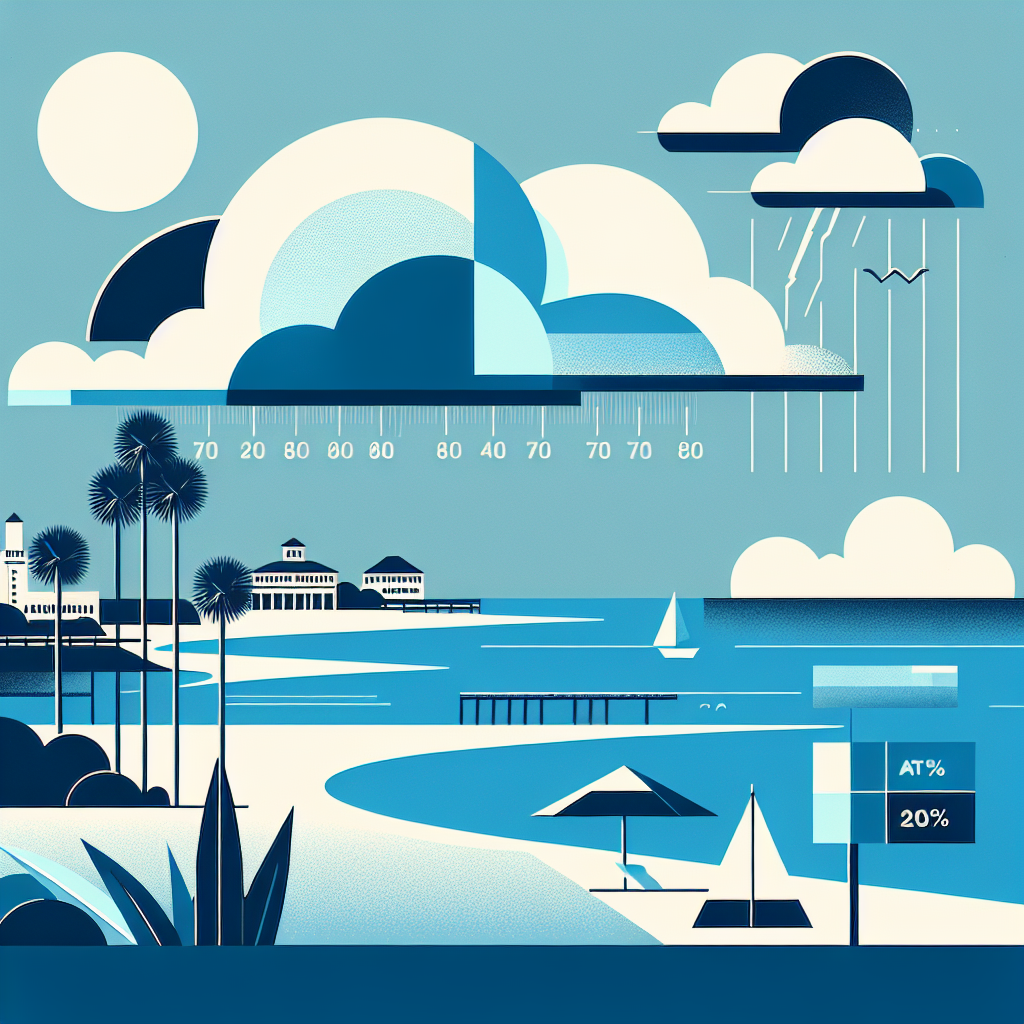
TODAY: Partly sunny skies with highs around 80°F and a 20 percent chance of afternoon showers or thunderstorms — a brief interruption at most. Steady east winds 10 to 15 mph.
TONIGHT: Partly cloudy and pleasant. Low in the upper 60s. East winds ease to 5 to 10 mph with gusts up to 20 mph — keep that in mind if you're on the dock late.
THIS WEEK: Friday brings nearly identical conditions — partly sunny, highs around 80°F, and another 20 percent chance of afternoon showers and thunderstorms. Friday night stays mild in the upper 60s with a lingering 20 percent shower chance before winds back down after midnight. No significant pattern change is evident within the available forecast window. Classic late dry-season setup: warm days, comfortable nights, isolated afternoon pop-ups.
ON THE WATER: East winds 10 to 15 mph Thursday and Friday keep conditions manageable for most vessels. Inshore and nearshore boaters should find a solid morning fishing window before any afternoon convection develops. Sailors will enjoy a steady beam reach. Always check conditions before heading offshore — afternoon storm cells can develop quickly this time of year.
ALERTS: No active NWS watches, warnings, or advisories are in effect for the Treasure Coast at this time.
This article was generated with AI assistance using publicly available information. It was reviewed and approved by a human editor before publication. TC Sentinel uses AI writing tools in accordance with FTC guidelines.
Stay informed. Subscribe free.
Get the Treasure Coast's daily briefing in your inbox every morning.
Got a Tip?
See something newsworthy? Help us cover the Treasure Coast.
Your identity is never published without your permission.
Reader Comments
Leave a Comment